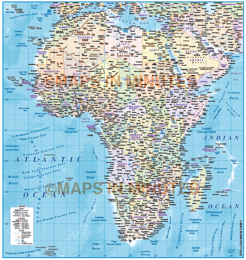
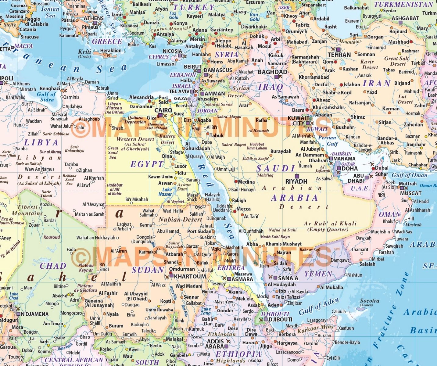
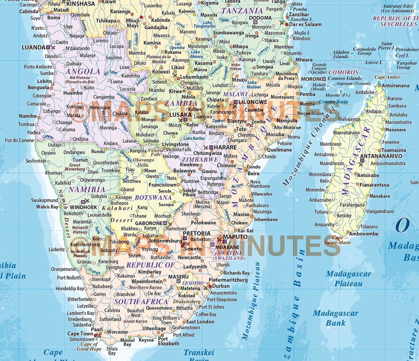
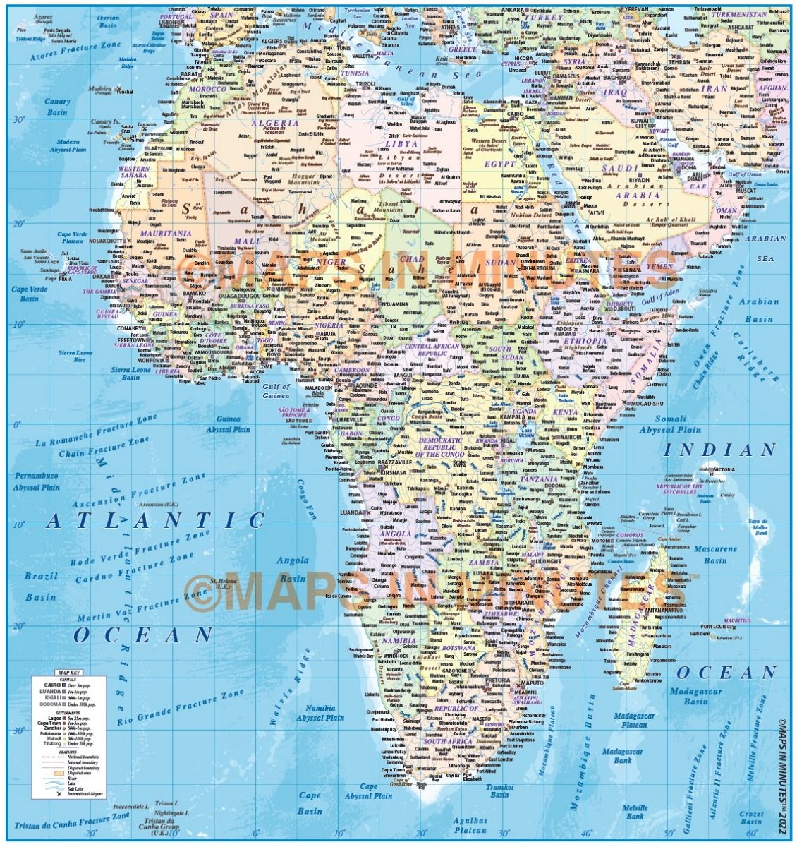
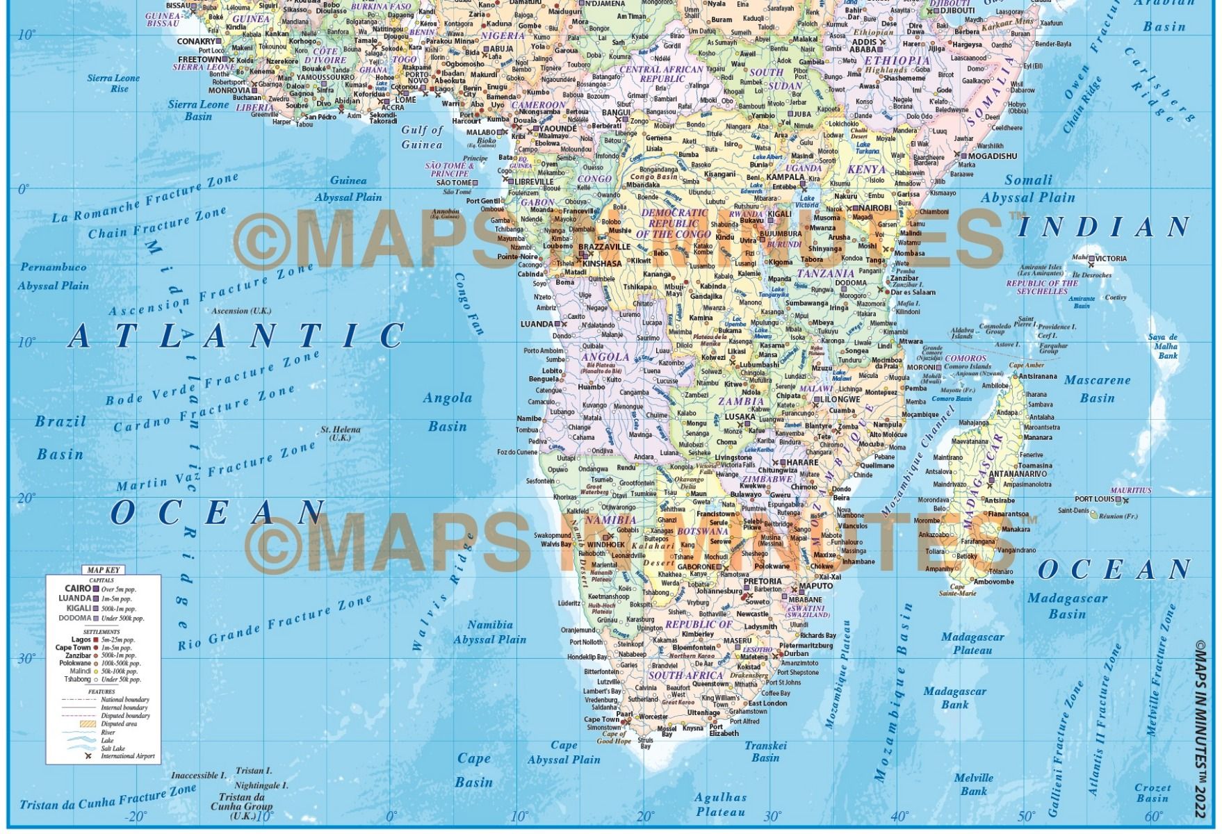
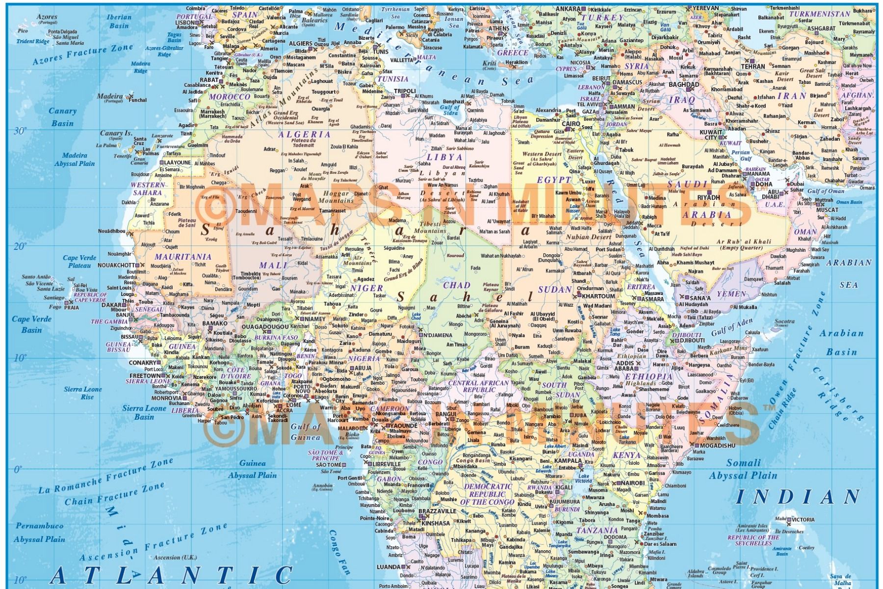
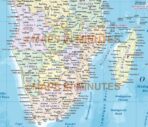
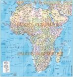
High-resolution editable vector map of Africa featuring political boundaries, inset maps, and detailed ocean floor contours. Perfect for professional presentations, publications, research, and mapping projects.
Detailed political vector map of Africa featuring inset maps and high-resolution ocean floor contours. Provided in Adobe Illustrator CS-compatible formats, with all map elements—including text—fully editable.






Reviews
There are no reviews yet.